Demography data is widely used in Geographical Information Systems applications such as in Geomarketing to create customer profiles, urban planning, mobility planning, social studies among many others.

Data from various census and statistical studies such as the Population and Housing, Economic Census and Housing Inventory are the major components used for Demography.
The raw data these sets include provide a comprehensive basis for a demographics data base but added value may be obtained by the generation of derivative metrics either by combining and/or extracting data that are more meaningful for your business purposes.
Coverage may be at different levels of aggregation being the most used at postal code, settlement and block levels, the first two being derivative sets.
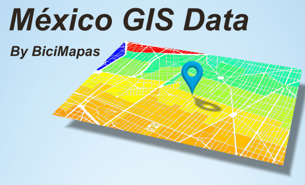
Thematic Mapping
For our Demography data, we use a Thematic Mapping approach to enhance the data visibility. The data values are coded in a single color which varies in intensity in a proportional way to its intrinsic values. Darker tones then mean higher values of the mapped value, while lighter tones mean lower values.

Examples of Derivative Data
Female/Male ratio
One of our customers had identified, through an exit poll to their customers made in several retail units, that over 50% of their customers were Females, which to a point was not expected. One of the derived metrics we were asked to add to the Geomarketing project we made for them, was the Female/Male ratio in a per block basis. The thematic mapping shows blocks where there are more Female popuation in pink, Male population in blue and equal value in gray.

Business and Employees per Block
Another Geomarketing Project for a B2B company asked to know the density of business units as well as the number of employees in a per block basis as well. Using derivative data from the Economic Census data, the data was calculated and mapped as part of the final study.


Demograpy Data Map
This is how the Demographic data layers show up on a Geographical Information Systems approach. On the left, the drop down menu allows you to select the layer to display. By clicking on top of a feature, corresponding data is displayed.
On a mobile device, we recomend to see them in landscape orientation.
About the Mexican Census and Statistics Data Sets
Population and Housing Census
They are made every 10 years with a partial intermediate update each 5 years. Current information is from the 2020 census.
Available at a locality, AGEB (the census basic geostatistical area) and block level. Contains Population and Housing data classified in the following categories:
Population, Fertility, Mortality, Migration, Ethnicity, Disability, Education, Economic Characteristics, Health Services, Conjugal Status, Religion, Households with various individual metrics in each category.
All the metrics may be transferred to a GIS data base at Locality, AGEB and Block.
We have also expanded the coverage to Postal Code and Settlement (more commonly known as “Colonias”) levels where matching source data is available.
Data sets in GIS format are available at Block, Postal Code and Colonia levels and may include all the available records or customizable to your needs.
Economic Census
They are made every 5 years and with yearly updates to the Business Units data set known as DENUE. The current version is from 2019.
Some of the data they provide are Economic Units, Occupied Personnel, Payroll, Expenses, Income, Fixed Assets, Total Production among a very large list of metrics.
For the most part, aggregation availability is at Municipality level and for DENUE may be at a block level.
National Housing Inventory
Developed simultaneously with the Population and Housing Census, this data set adds surrounding urban environment data where the housings are located. Current version is from 2020.
The added data includes type of street surface, facilities for disabled people, pedestrian crosses, sidewalk, bikeways availability, street lightning, named street, stop lights, vegetation and tree coverage, public transportation stops availability and many more.
We may develop any data combination or extraction from available data sets that may suit your needs.
Please contact us for further details.